
Newcastle Service Area
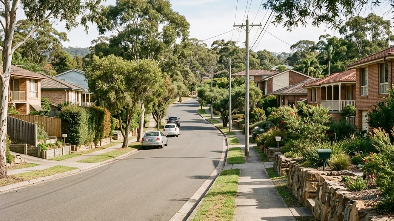
15 suburbs across the Newcastle inner-city escarpment, coastal blocks, western ridge and Lake Macquarie fringe - each with real differences in soil and terrain that change the right retaining wall answer.
Retaining walls Newcastle: choose your suburb
Merewether Coastal blocks that fall from the Bluff and Scenic Drive down toward the beach, where dune sand sits over Newcastle Coal Measures bedrock and most level yards were cut into the slope. The Junction A tight inner-city grid sitting only a few metres above sea level, where the level changes are small but the walls almost always land close to a shared boundary. Cooks Hill Terrace-house streets that step down from The Hill ridge onto old low-lying swamp ground, so drainage decides the wall as much as the retained height does. The Hill The escarpment directly above the city centre, where sandstone benching, heritage frontages and very old boundary walls sit within a few hundred metres of each other. Hamilton Flat, low-lying ground behind Beaumont Street that started life as the Borehole coal township, so filled land and shallow water table shape the footing design more than slope does. Mayfield Land that falls from the Main Northern railway line down to the Hunter River flats, mixing old industrial fill with estuarine clay as you get closer to the water. Stockton A sand peninsula with dunes over 30 metres on the ocean side and marshland to the west, where low-cohesion sand makes drainage and scour control the whole job. Lambton Old Lambton Colliery ground around Lambton Park, where Lambton Ker-rai Creek, historic mine workings and gentle cross-fall all show up in the same backyard. New Lambton Heights The 105-metre ridge behind John Hunter Hospital and Blackbutt, the steepest residential ground in the inner west, where benched driveways and surcharge loads are the norm. Adamstown Heights Ridge-and-gully blocks around 64 metres up, where reactive clay over weathered Coal Measures gives long rear falls and a lot of tiered garden walls. Kotara The flatter valley floor between the Heights ridges, where most retaining is modest rear-boundary cut and fill and the stormwater connection back to the street decides the detail. Wallsend Ironbark Creek floodplain wrapped around the old Wallsend and Plattsburg colliery townships, so overland flow and historic mine workings both belong in the wall design. Fletcher The newest ridge-country subdivision on the western edge of the city, where house pads were benched into the slope and the batter between two new lots is the wall in question. Charlestown At 116 metres the highest of the ring suburbs, on old South Waratah Colliery gully ground, where side and rear falls are steep and many blocks are already terraced. Warners Bay Lake-facing slopes running down to the Lake Macquarie foreshore, where terraced yards chase the view and the discharge point for wall drainage needs thinking about early.
Talk to a specialist
Don't see your suburb listed?
We cover the wider Newcastle and Lake Macquarie area - get in touch and we'll confirm.